
Learn whether clearing land before selling can improve buyer interest and help showcase property potential.

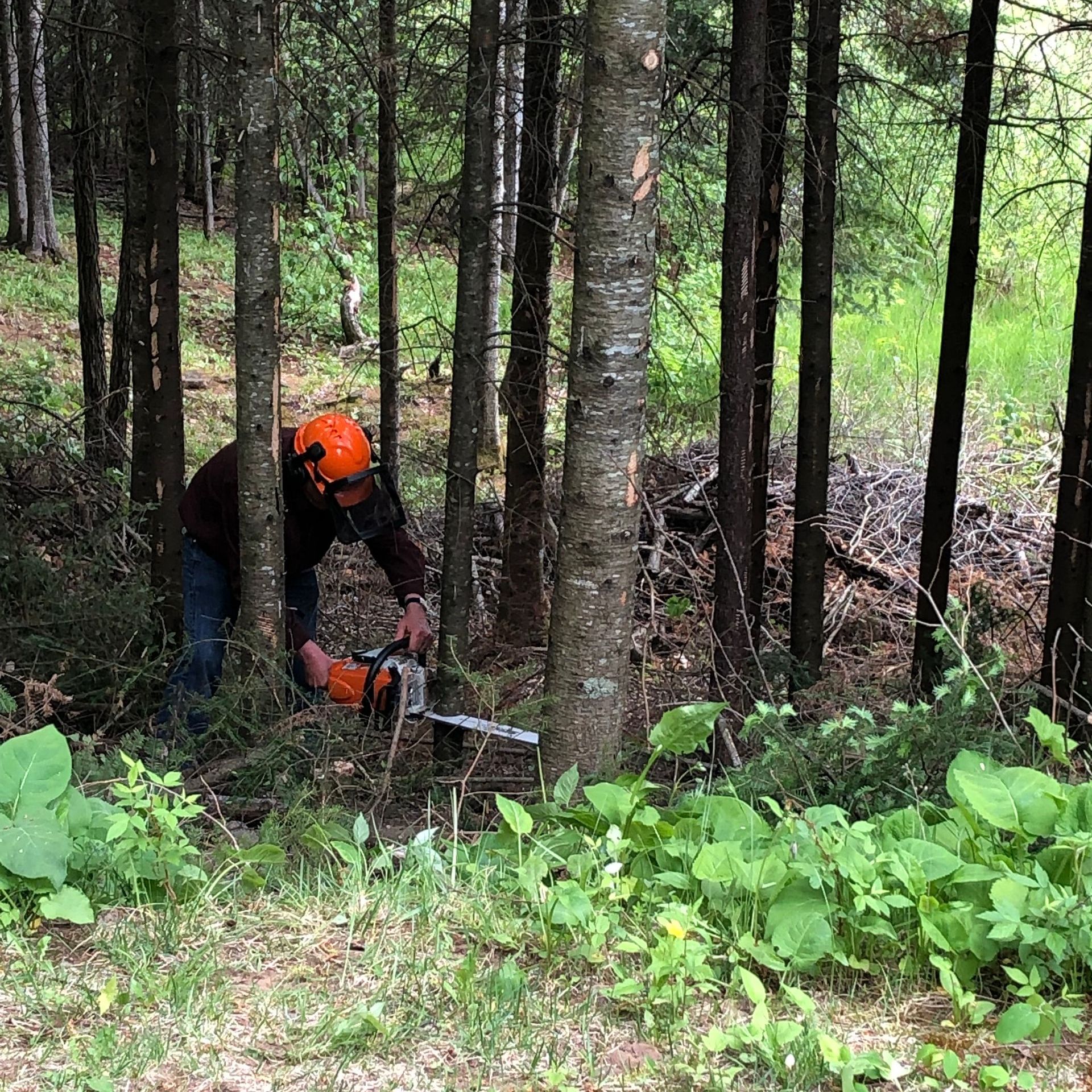
Learn what affects trail clearing and trail building costs for hunting, ATV, and recreational properties.

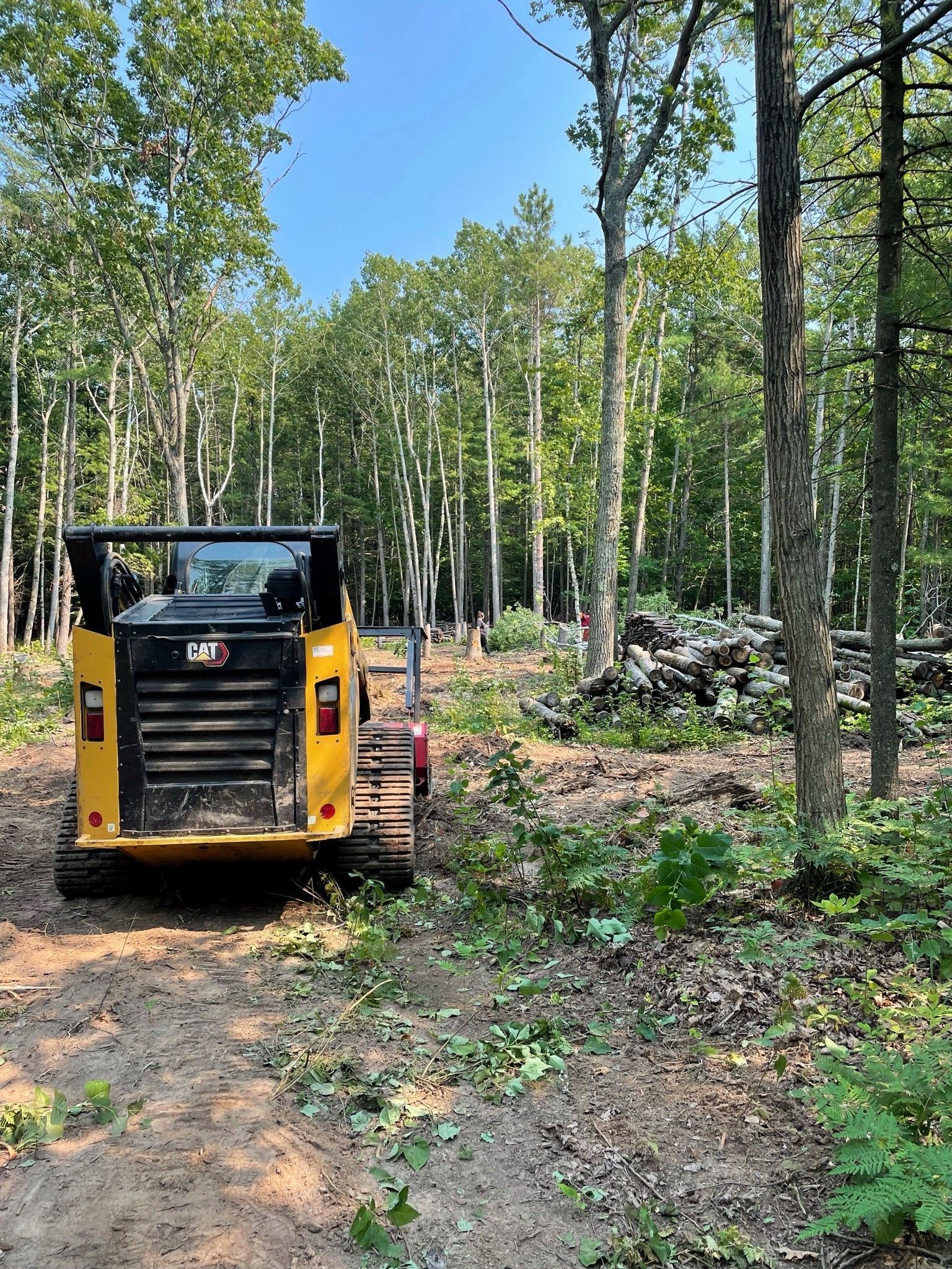
Learn what impacts the cost of clearing 2 acres of land and how vegetation, terrain, and access affect pricing.
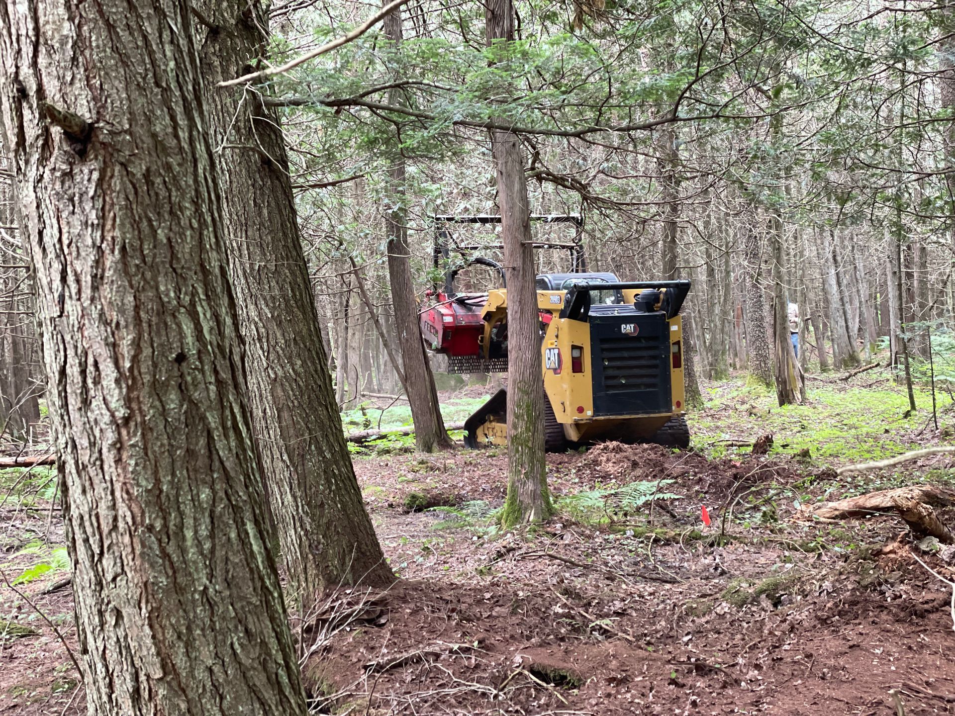
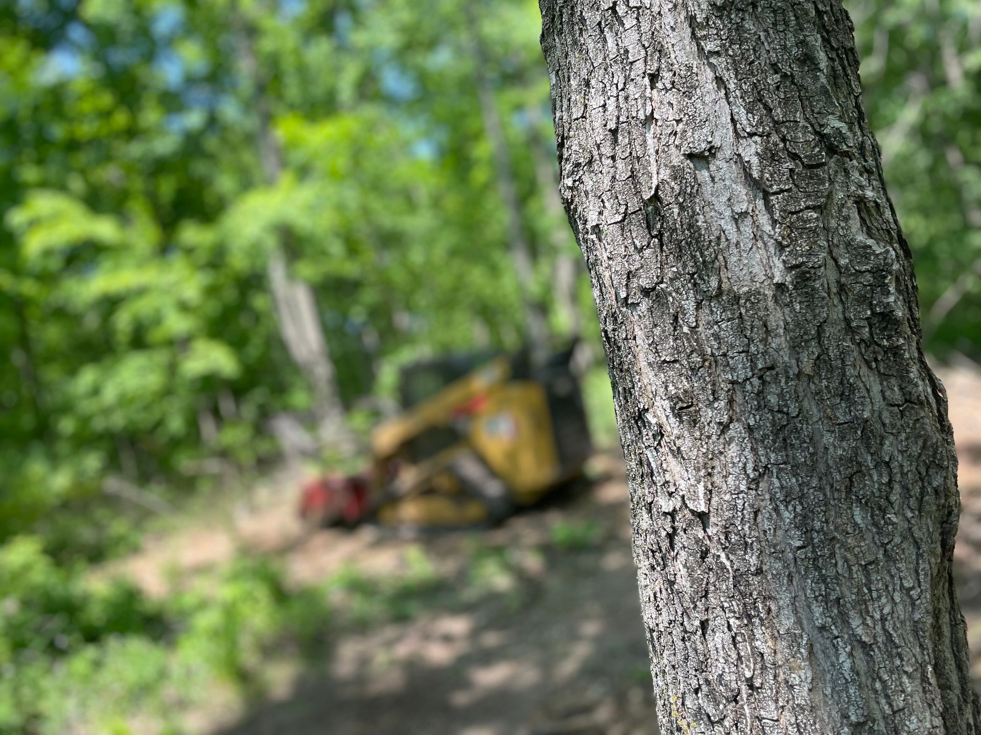
Learn what affects forestry mulching costs, typical price ranges, and how to estimate the cost of clearing your property.

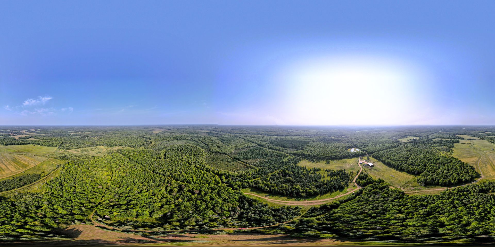
Learn how trail systems, brush clearing, and forestry mulching can make your property easier to access and enjoy.
Learn how forestry mulching helps remove invasive brush and reclaim overgrown property.
Learn the best ways to clean up overgrown wooded property and restore access, visibility, and usability.
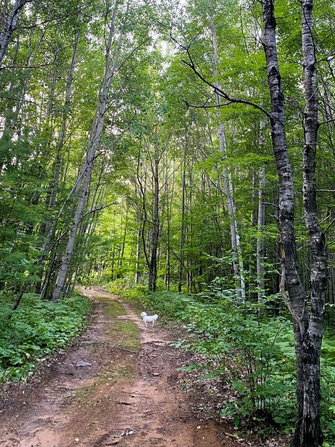
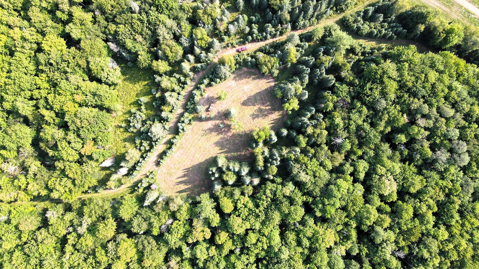
Learn how to create trails on wooded property for hiking, hunting, ATV use, and recreation.
Struggling to walk through your property because of thick brush and overgrowth? Learn how forestry mulching and brush clearing can make your land usable again.