

Division of Wilderness Pathways Inc.
See Your Land Like You’ve Never Seen It Before
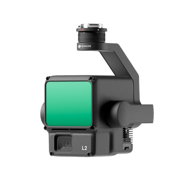
Drone Services in Wisconsin
We capture clean, high-resolution drone footage and LIDAR scans—across hundreds of acres per day. Whether you’re building, scouting, mapping, or just want to see what you actually own… we fly it fast and send it back, simple as that.
Our Drone Services Include:
- LIDAR Mapping, 2D/3D Drone Imaging
- Thermal Imaging
- Cattle - Deer Recovery
- Search and Rescue
- Visual Inspection
→ For engineers, planners, municipalities, realtors
What We Capture
- Full parcel LIDAR scans
- 2D + Elevation-based aerial imagery
- Oblique angles and terrain detail
- Thermal footage (great for wildlife + rescue)
- Clean, hi-res visuals for trail planning, property lines, or personal records
- Delivered in the format you ask for.
- Up to 1,000 acres flown in a day
- FAA certified
- Fast file turnaround
- Flexible formatting
- No “explaining things” unless you ask
We’ve worked with engineers, landowners, planners, and guys who just wanted to see where their deer run.
What Sets Us Apart
Real Scenarios
An out-of-state client was considering purchasing a property but couldn't visit in person before making a decision. Unsure exactly what the land included — terrain, boundaries, structures, potential issues — they needed eyes on the ground without being there themselves.
Eagle Eye Drone Services flew the property and captured full aerial footage, giving the client a clear, comprehensive view of the entire lot from angles no ground-level photo could match. We sent over the video same-day, and the client was able to see exactly what they were buying — from property lines to land features to the condition of existing structures.
The client was thoroughly impressed with the level of detail and clarity, and it gave them the confidence to move forward with the purchase, sight unseen.
Who We Work With
- Engineers
- Landowners
- Developers
- Conservation planners
- Rural property buyers
- Hunters and land stewards
Interested in finding out more?
Serving Wisconsin Land Owners
- Marathon, WI
- Clark, WI
- Wood, WI
- Portage, WI
- Waupaca, WI
- Shawano, WI
- Menominee, WI
- Langlade Forest, WI
- Villas, WI
- Oneida, WI
- Iron, WI
- Ashland, WI
- Price, WI
- Taylor, WI
- Lincoln, WI