What Drone Mapping Can—and Can’t—Tell You About Your Land

Not sure what your land actually looks like? You’re not alone. Many rural landowners haven’t walked or seen their full property in years.
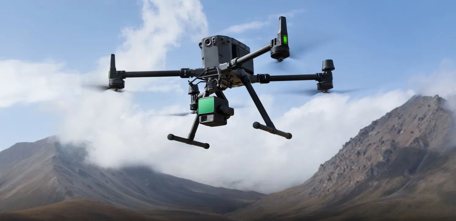
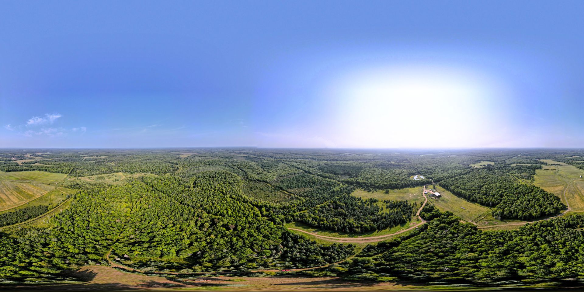
At Wilderness Pathways, our Drone Mapping & Data service provides crystal-clear insights that help owners, sellers, and builders plan with confidence.
But it's not a magic fix for everything. Here's what drone mapping can and can’t tell you about your land.
What Drone Mapping Can Do:
Show Topography and Elevation
Understand your slopes, water flow, and building potential.
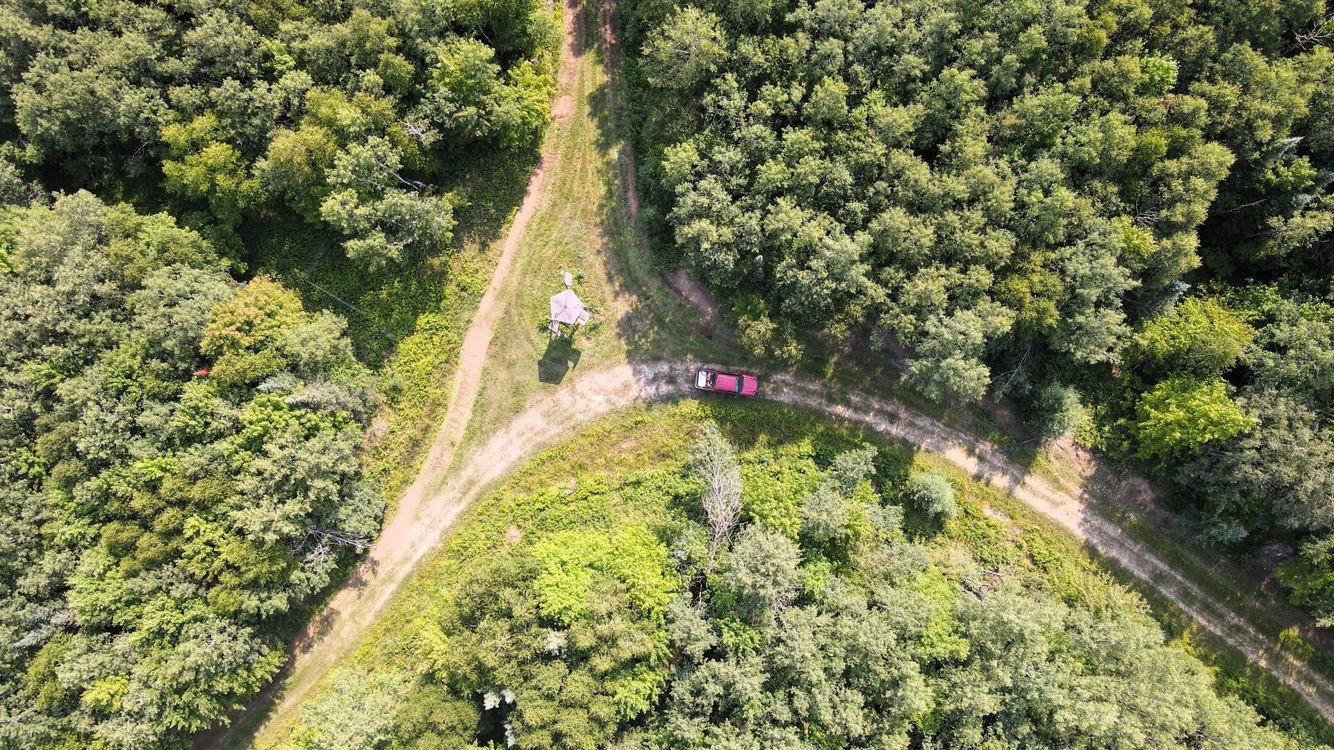
Reveal Vegetation, Tree Cover & Clearings
Plan trails, habitat areas, or mulching based on what’s really there.
Visualize Boundaries (Non-Surveyed)
Get a realistic view of where your parcel begins and ends (helpful, but not legally certified).
Capture Wildlife & Movement (with Thermal Options)
Great for landowners tracking game, animal patterns, or water access points.
What Drone Mapping Can’t Do:
- Replace a legal survey
- Detect underground issues
- Tell you how the land feels to walk
That’s why we always pair drone flights with on-foot assessments. You need both the data and the experience.
Want to see your land before you clear it or sell it? Request a drone scan today and we’ll fly it clean.


